فائل:LocatieAmsterdam.svg

اس SVG فائل کی PNG نمائش کا حجم: 421 × 196 پکسلز دیگر تصمیمات: 320 × 149 پکسلز | 640 × 298 پکسلز | 1,024 × 477 پکسلز | 1,280 × 596 پکسلز | 2,560 × 1,192 پکسلز۔
اصل فائل (ایس وی جی فائل، ابعاد 421 × 196 پکسل، فائل کا حجم: 93 کلوبائٹ)
خلاصہ
| تفصیل |
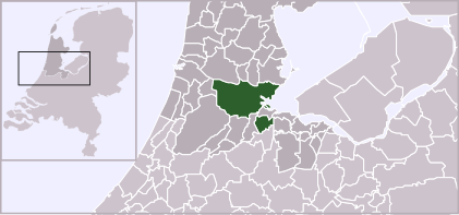
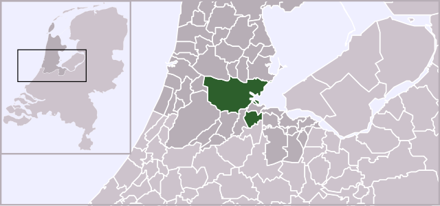
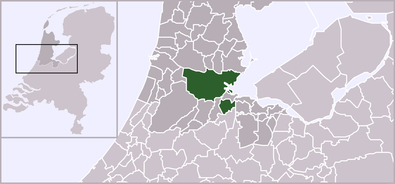
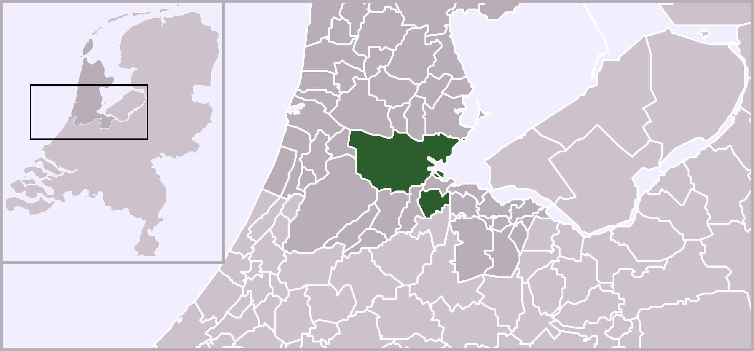
English: Locator map of municipality Amsterdam (NL), 2006. |
| تاریخ | |
| ماخذ | ذاتی کام, based on freely available GIS data |
| مصنف | User:Mtcv |
| اجازت (فائل کا دوبارہ استعمال) |
Data: attribution required; my work: PD |
| دوسرے نسخے |
|
.svg)
اجازہ کاری

|
The copyright holder of this file, Centraal Bureau voor de Statistiek, allows anyone to use it for any purpose, provided that the copyright holder is properly attributed. Redistribution, derivative work, commercial use, and all other use is permitted. |
|
|
فائل کا تاریخچہ
کسی خاص وقت یا تاریخ میں یہ فائل کیسی نظر آتی تھی، اسے دیکھنے کے لیے اس وقت/تاریخ پر کلک کریں۔
| تاریخ/وقت | تھمب نیل | ابعاد | صارف | تبصرہ | |
|---|---|---|---|---|---|
| رائج الوقت | 19:13، 3 فروری 2012ء | | 421 × 196 (93 کلوبائٹ) | Gladiool | Same style as other maps + 2012 municipality borders |
| 12:07، 16 اکتوبر 2006ء |  | 980 × 455 (245 کلوبائٹ) | Gustavb | Sized up with a viewBox | |
| 00:47، 2 اکتوبر 2006ء |  | 280 × 130 (246 کلوبائٹ) | Mtcv | {{Information| |Description=Locator map of municipality Amsterdam (NL) |Source=Own work, based on freely available GIS data |Date=2006-10-02 |Author=User:Mtcv |Permission=Data: attribution required; my work: PD }} |
روابط
درج ذیل صفحہ اس فائل کو استعمال کر رہا ہے:
فائل کا عالمی استعمال
مندرجہ ذیل ویکیوں میں یہ فائل زیر استعمال ہے:
- ar.wiki.x.io پر استعمال
- awa.wiki.x.io پر استعمال
- ckb.wiki.x.io پر استعمال
- en.wiki.x.io پر استعمال
- en.wikinews.org پر استعمال
- fa.wiki.x.io پر استعمال
- fj.wiki.x.io پر استعمال
- hi.wiki.x.io پر استعمال
- incubator.wikimedia.org پر استعمال
- ja.wiki.x.io پر استعمال
- nl.wiki.x.io پر استعمال
- no.wiki.x.io پر استعمال
- pnb.wiki.x.io پر استعمال
- ps.wiki.x.io پر استعمال
- sd.wiki.x.io پر استعمال
- ug.wiki.x.io پر استعمال
- zh-min-nan.wiki.x.io پر استعمال
- zh-yue.wiki.x.io پر استعمال
- zh.wiki.x.io پر استعمال
- zu.wiki.x.io پر استعمال